
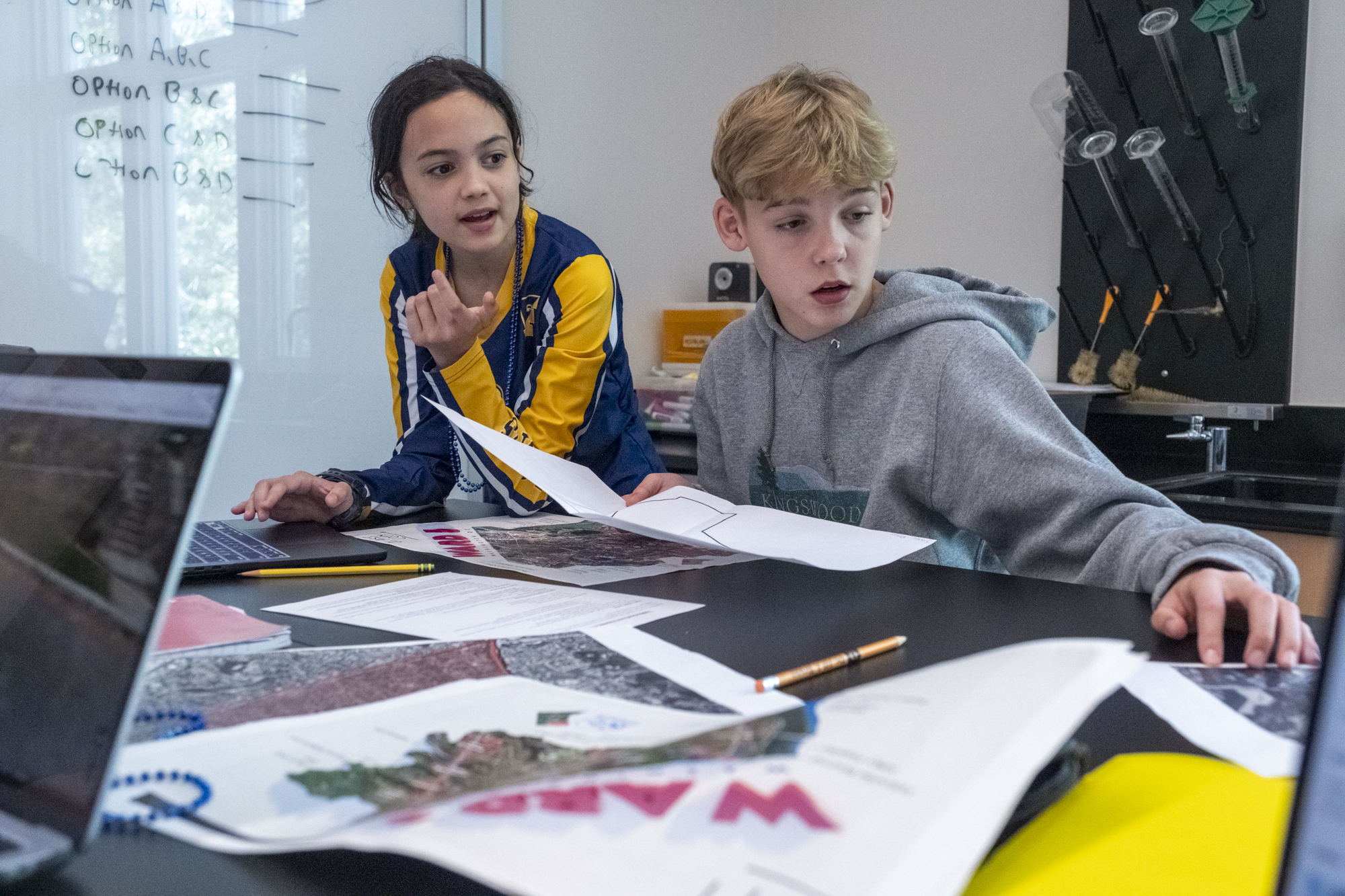
Eighth graders are immersed in ambitious science projects that will culminate in designing a city of the future later this year. This month’s neighborhood assessment mapping project sets the stage by introducing students to key concepts of equity and environmental justice in city planning as they study the different wards in Washington, D.C.
Science teachers Maddie Cloud and Monte Woodard kicked off their lessons by assigning neighborhoods to students to expose them to a range of realities across the city. This pushes students from their comfort zone and introduces them to areas they don’t experience on a day-to-day basis. “We don’t want students to only focus on the neighborhoods they know,” says Monte. “We want them to learn about wards they may not be familiar with, especially those with fewer resources.”
Some groups are mapping wards with abundant public services, while others are examining neighborhoods where residents may face long travel times just to reach a grocery store, library, or one that may not have any green space. The disparities are striking and revelatory for students just beginning to understand their city.
The discoveries students are making are surprising—even for the teachers. Students exclaim, “I’ve never heard of this neighborhood before,” as they learn about Columbia Heights, Brookland, and neighborhoods across Southeast DC. Maddie responds, “This is an incredibly important neighborhood,” emphasizing its history and contribution to how DC has been shaped.
“One student realized their neighborhood had no libraries in it at all,” Maddie says. Another realized there were no green spaces, though Rock Creek Park lay just blocks away. These aha moments are exactly what the teachers hope for. These discoveries prompted students to consider deeper questions: What does it mean to have no libraries for the people who live there? What does a library provide? How would having no parks or green space influence how people interact with nature?
Other students are grappling with questions of demographics and cultural change. After learning that the term ‘homogeneous’ means ‘consisting of the same kind,’ one student began connecting demographic stability and homogeneity to questions of resource allocation. “There’s a tension there,” Maddie explained. “Demographics affect how this environment is shaped and what this neighborhood has.” Monte shares, “The hope is students can say, ‘This neighborhood doesn’t have a grocery store within 25 minutes—what would we do about that if we were designing a city?’”
The project directly connects to themes explored in David Attenborough’s “A Life on Our Planet,” which students watched at the beginning of this year. The documentaries emphasize sustainability, resource strain, and collective action. Students are asked to identify what each neighborhood is already doing well, such as renewable energy use or access to green space, and where the gaps exist.
While these assessments lean more heavily into humanities territory, they establish a critical foundation for the science to come. “Science isn’t good science if you do it in a vacuum,” Maddie emphasizes. “Science serves people and science is at its best when, much like design theory or design thinking, you empathize at the beginning.”
Another goal is for students to understand environmental justice not as “justice for the environment,” but as the study of how environmental policies affect people unequally. “We’re teaching them what environmental justice really means: that all people should have the same access to resources and benefit from the environment in the same way,” Monte says. This empathetic foundation will carry through the rest of the year as students move into more traditional science units on earthquakes, weather, and climate.
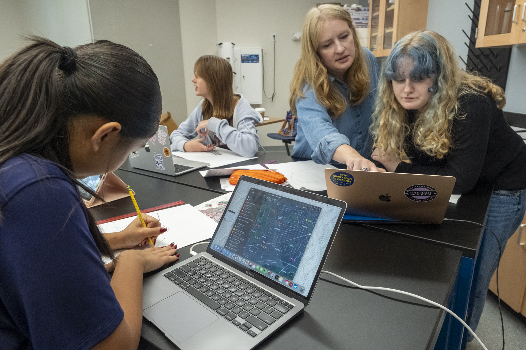
In the classroom right now, students are practicing very specific skills, like learning how to build and read maps. They must represent resources such as parks, schools, and transit on their maps and use keys to show how neighborhoods are organized. “Obviously, they can look at a map and there'll be eight million things,” Monte says. “We’re teaching them how to pull out the most important information.” They’re also creating annotated bibliographies to document their research and consolidating information so that it's clear and useful.
The finished maps will be displayed in a gallery outside their classroom, allowing the entire school community to see how different DC neighborhoods compare.
From learning to use maps and asking critical questions to build empathy, these eighth graders are acquiring the tools to think like city planners and scientists who understand that good design and good science both require stepping outside yourself to see how others experience the world. It’s a foundation that will serve them far beyond any individual project, teaching them to envision more just, sustainable communities that work for all people in the future.


.jpg&command_2=resize&height_2=85 "Graphing Quilt Blocks in Middle School Math")


